An Intro to the Island called San Juan
It sure looked different from Tucson
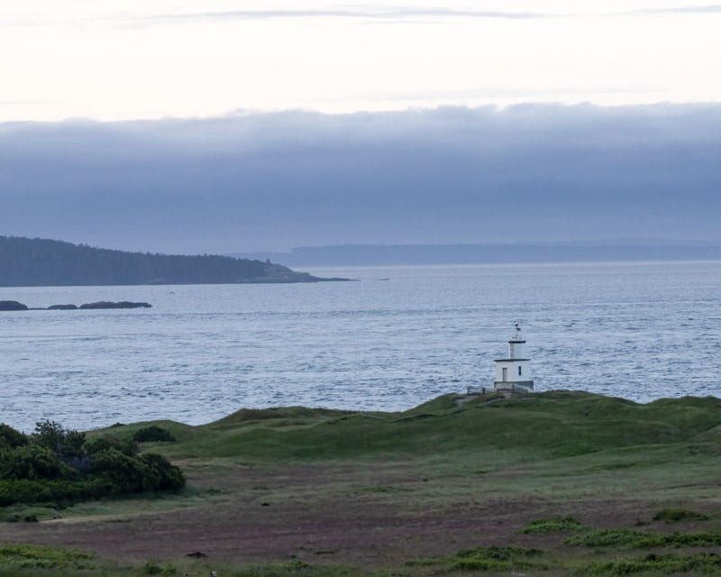
Coming from Tucson, what fascinated me on San Juan Island was the endless sight of water everywhere as part of the vast Salish Sea. It felt like you could view the sea no matter where you were on the island. This view below is facing towards the lighthouse at Cattle Point on the southeastern tip of the island. Cattle appeared at the "point" in 1853, when the Hudson's Bay Company established a ranch on the southern end of the island. This lighthouse was built in 1935, but a navigational lantern has been on watch here since 1888. We saw a Bald Eagle on the lighthouse one day and it remained there no matter how many visitors hiked the short path to and around the lighthouse. This shot was taken around 6:30 AM an hour after a cloudy sunrise.
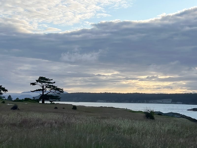
Just beyond the lighthouse and around the corner of Cattle Point, this tree caught our eye. Lopez Island is across the waters called Cattle Pass.
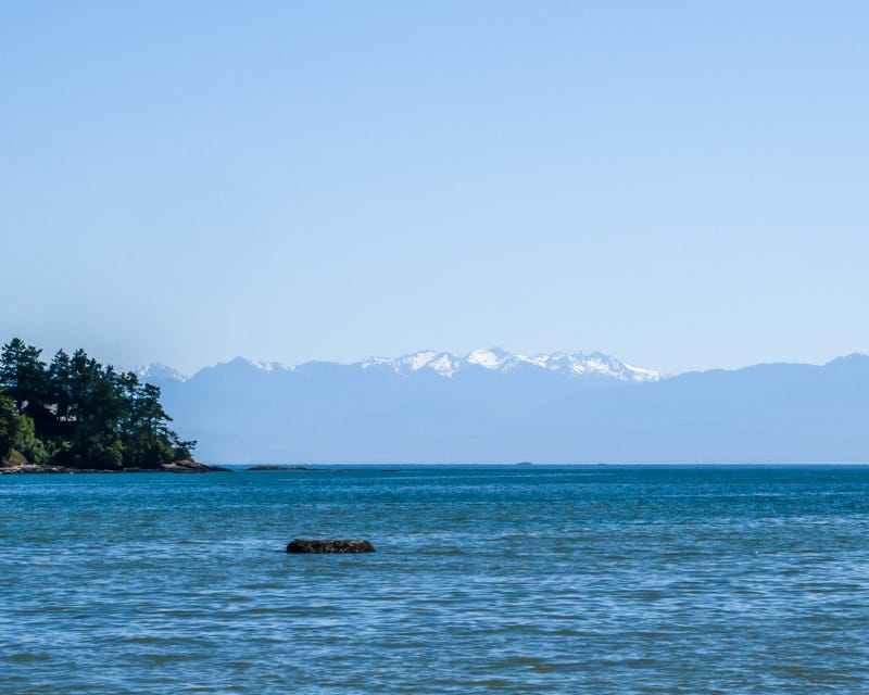
From the west side of San Juan, you can see the Olympic Mountains in the distance. They range up to 8000 feet in elevation and the higher peaks are capped with glaciers and snowfields, even through the summer.
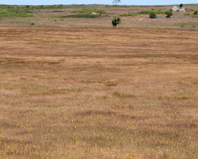
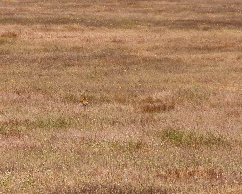
A large area between American Camp and Cattle Point is called the ‘prairie'. South Beach is just beyond that field. Sometimes foxes can be seen hunting rabbits and other prey in that area. One day we did see a fox running across the prairie. If you look closely you can see a tiny head in the middle of this photo, just to the left of the large rectangular bush. It is very tough to make out that fox in the distance. That’s the only time we saw a fox in the prairie, although we looked there daily.
Here is a cropped close-up of the photo above. You can see the fox’s head sticking above the knee-high grasses. The grasses are high and the color of the fox’s fur helps it to blend in.
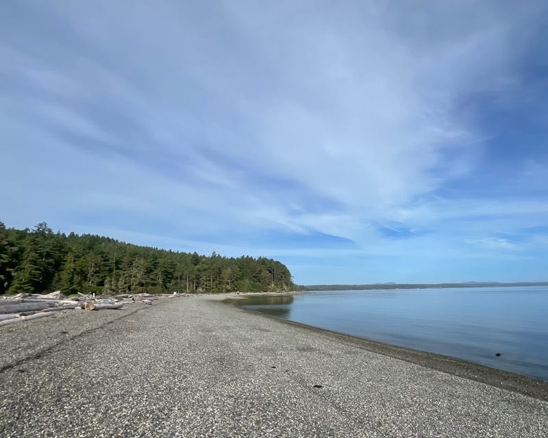
4th of July Beach was empty. Most of the island's beaches were rocky, unlike the sandy beaches of southern California that I am more familiar with. This beach got its name during the Pig Wars, when Americans and the British were both contesting ownership of the island. In 1859, the American Tax Collector on the island flew an American Flag on this beach just to annoy the British. The Pig War was a standoff in 1859 between the United States and Great Britain over ownership of the San Juan Islands. You can learn more about this war here or here .
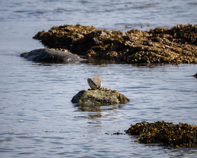
On another morning we took a short walk to Third Lagoon, another quiet and empty beach.
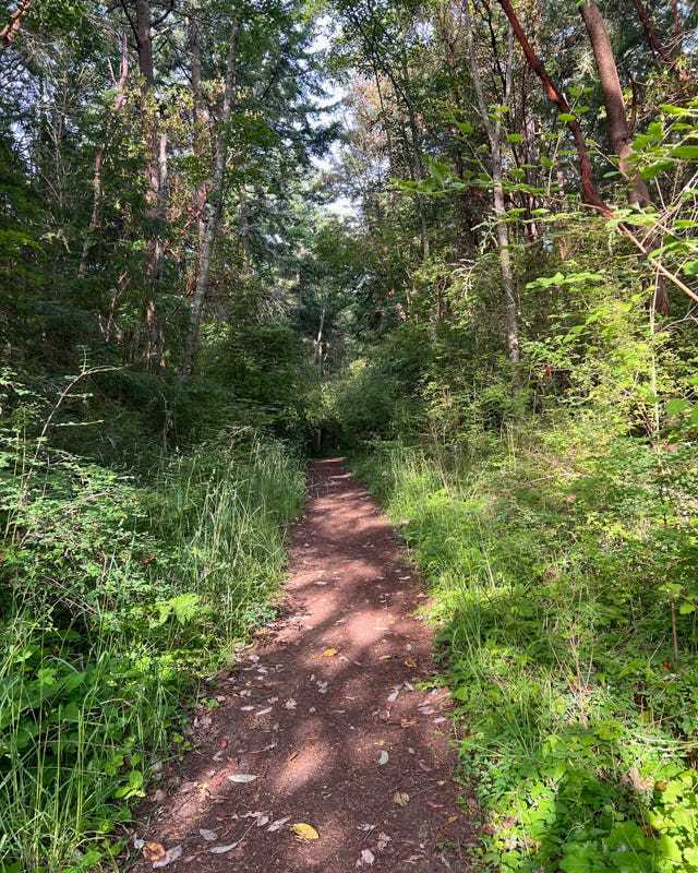
Trails through the woods were thick with trees and green vegetation. These trails definitely looked different from the trails I use in Pima County.
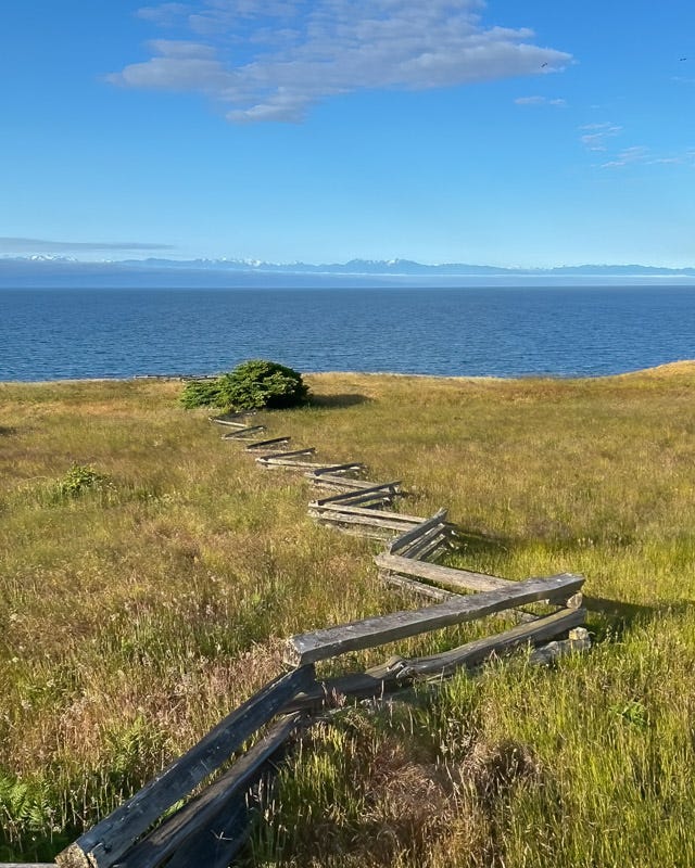
Throughout the island, almost all fences were Virginia Worm fences. This style of fencing became common on the island due to their ease of construction. In the island’s rocky terrain, the fencing didn’t require digging post holes and there was plenty of suitable timber available. This was a common fence throughout American in the late 1800’s.
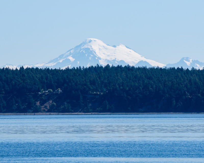
West of the island, and looking across the water and past Lopez Island, was Mount Baker. At over 10,700 feet in elevation, it is covered in active glaciers.
San Juan Island is the second largest but the most populous of the islands that comprise San Juan County. The island is about 14 miles long, from its NW corner to its SE corner, and 6 miles wide. You can learn more about San Juan Island from its visitors bureau .
We have Coues' White-tailed Deer and Mule Deer in southern Arizona, but San Juan Island has Columbia Black-tailed Deer. My next newsletter will feature them.


What a beautiful area!
Thank you for introducing me to this beautiful place, I have heard the name often, but after seeing your photos it puts a whole new light on San Juan. On the walk to the Third Lagoon, is that normal behavior for clams? Thanks again for adding additional information, really look forward to your posts.